Thank you for your continued participation in the Public Domain Map pilot!
Overview
If you have been invited to participate in the Pilot but have not completed Part I, please start here.
In this part of the pilot, you will be diving into mapping railroad tunnels for the Federal Railroad Administration using the OpenStreetMap US Tasking manager. If you would like a refresh on mapping in OpenStreetMap, please feel free to go through the OpenStreetMap walkthrough again. Instructions on how to access the walkthrough can be found in Part I.
As always, if you have any questions or encounter roadblocks during the course of the pilot, please do not hesitate to reach out to info@publicdomainmap.org.
Mapping Objectives
By the end of this section you will have:
- Navigated to the Public Domain Map Pilot projects in the OpenStreetMap US Tasking Manager
- Read through the Description & Instructions for a Public Domain Map project
- Completed a tunnel mapping task
Step 1: Navigate to a Public Domain Map project
The OpenStreetMap US Tasking Manager will now host mapping projects that either a) directly contribute to OpenStreetMap, or b) contribute to Public Domain Map. After Public Domain Map contributions are reviewed by federal agencies, contributions can then be brought into OpenStreetMap[1].
Please note: This pilot does not involve the conflation workflow with OpenStreetMap or Federal datasets. It cannot be guaranteed that any data contributed during the pilot will be later available in either OpenStreetMap or Federal datasets.
Navigate to the OpenStreetMap US Tasking Manager. We recently updated the branding of the site. The visuals may look different than you previously have experienced, however, all steps and functions are the same.
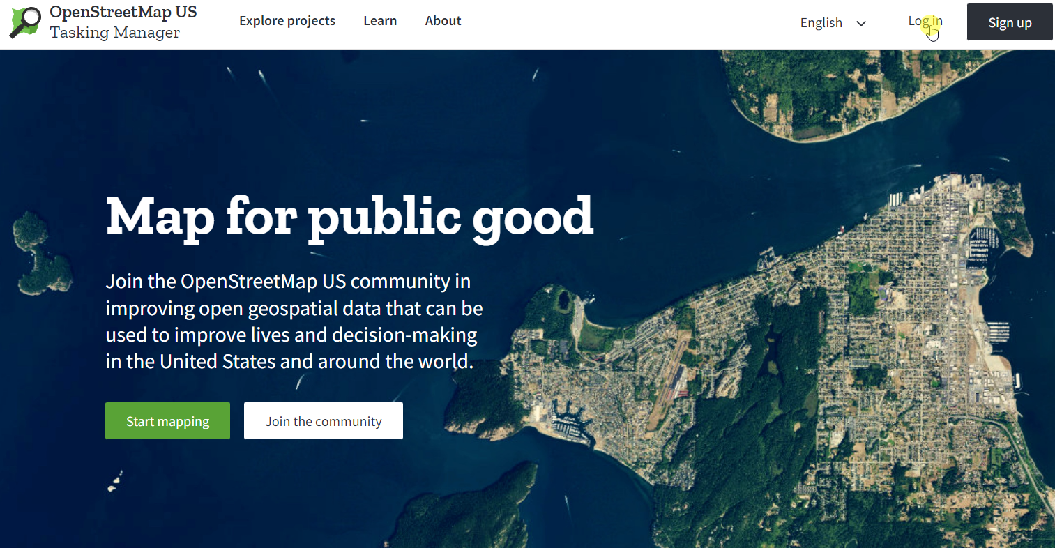
Sign in by clicking on the ‘Log in’ button in the top right corner of the page. Once you click on the login button a popup will appear with the OpenStreetMap login form. Please enter your OSM username and password. Then click on the ‘Explore Projects’.
Scroll through the first page of projects until you find a Public Domain Map project. Do not click on a project yet but instead, note that both OpenStreetMap and Public Domain Map projects are accessible from this portal.
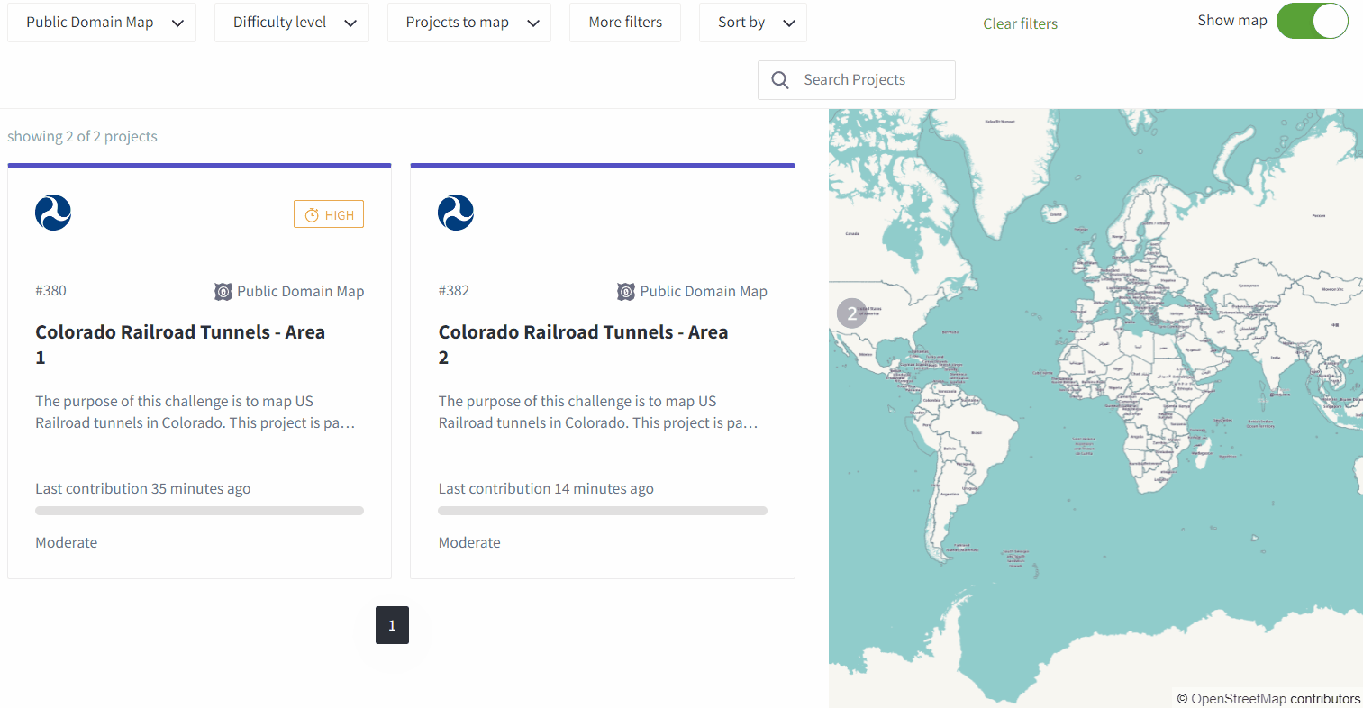
You can also filter for Public Domain Map projects. Scroll back to the top of the ‘Explore’ page. In the top row of filter options, select ‘Database’ and then ‘Public Domain Map’. Now you will see all Public Domain Map projects available for mapping.
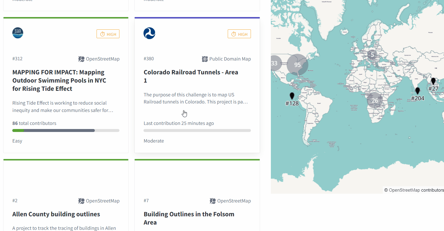
Click on one of the projects. (If for some reason there are no projects available to map, please reach out to us via email.)
Step 2: Read through the project instructions
After selecting a project to map, read through the description. Next, click “Contribute”.
This will take you to the instructions page. Please review the instructions before continuing. When you’re ready to map, select “Map a Task”.
You will be taken to the iD editor with the task boundary highlighted in magenta. This is the bounding area of your mapping activities. Do not map outside of the magenta boundary.
The instructions are also available in the iD editor, in the right-hand panel under “Instructions.”
Step 3: Complete mapping per project instructions
Once you are ready, please complete the task by following the project instructions. Return here when you have saved and completed your work.
If you would like to map another task, please select another from the available Public Domain Map projects.
Please complete no more than two Public Domain Map projects at this time. This will ensure that all participants have the chance to complete the mapping portion of the pilot.
Step 4: Complete Mapping Feedback Form
After completing at least one tunnel mapping task, fill out the Mapping Feedback form below. For now, this is the completion of your role in the pilot. Thank you so much for your time! If you would like to be considered for additional testing activities, including further mapping, please indicate your interest on the form below.
[1] The workflow and tooling to bring Public Domain Map data into OpenStreetMap is still being developed, and will be tested at a later phase of the project.